Elevation Difference by Trigonometric Leveling
Elevation Difference by Trigonometric Leveling
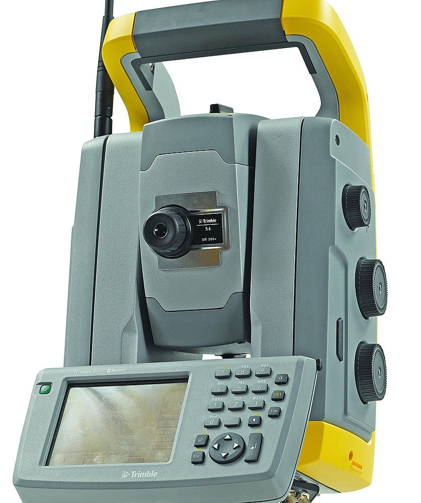
Trigonometric leveling finds the elevation difference between an instrument setup and a target point using a measured horizontal distance and vertical angle, rather than direct differential leveling with a level and rod. It is the method built into every total station and is standard practice for long sights or steep terrain where direct leveling is impractical.Because the instrument and target are rarely at the same height above their respective ground points, the instrument height and target (reflector) height must be included in the calculation, or the resulting elevation difference will be systematically off by the difference between those two heights.
The elevation difference is ΔH = D·tan(θ) + h_i − h_r, the vertical rise from the sight line plus the instrument height minus the target height. where D is the horizontal distance, θ is the measured vertical angle, h_i is the instrument height above its point, and h_r is the target (reflector) height above its point.
Inputs
D_h := 150 m=150 m
theta_v := 0.0698=0.07
h_i := 1.5 m=1.5 m
h_r := 2.0 m=2 m
The vertical rise along the sight line is found from the horizontal distance and angle, then corrected for the offset heights of the instrument and target to give the true ground-to-ground elevation difference.
dH_elev := D_h·tan(theta_v) + h_i - h_r=9.99 m
Results
A rise of about 10 m over a 150 m sight at a shallow 4° angle is a believable result for rolling terrain. A positive ΔH means the target point is higher than the instrument setup point; if the instrument and target heights were swapped or entered incorrectly, the sign of ΔH would flip, which is a common field error worth double-checking against the expected terrain.
Assumptions & limitations
- Vertical angle measured from horizontal, in radians.
- Earth curvature and atmospheric refraction corrections not applied (short/moderate sight distances).
- Instrument and target assumed to be plumb over their respective points.